Portfolio
LISTMap / Common Operating Picture
Customer:
- Land Tasmania
Our Position:
- Technology Partner
Technologies:
- PHP, Javascript, Html, Java, .Net
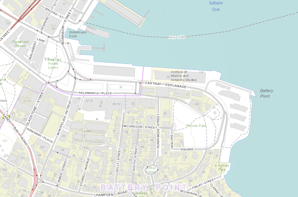
Geometry was tasked with developing a replacement of the previous Land Information System Tasmania (LIST) mapping system. The new mapping interface supports a wide variety of spatial data sets and works on a wide variety of browsers and mobile platforms.
The interface uses a modern ‘Google maps’-like user interface providing a simple yet fast mapping system. The Common Operating Picture system, provides emergency services the ability to have a common view of emergency incidents over multiple agencies, thus providing a rapid view of on ground situations in a common and authoritative manner.
The following features of the Web Mapping Interface:
- Web-based application available via desktop and mobile web browsers;
- Standard modern web mapping functionality (Google Maps type interaction);
- Ability to consume multiple centralised and distributed data sources;
- Integrated search functionality;
- Layer management functionality;
- Ability to consume cached tile services and extensive access to imagery data;
- Layer level security, integrated with LIST framework and security;
- Map customisation including mark-up, bookmarks and sharing;
- Workflow system for extended functionality;
- Statistical and social science based data available via application; and
- Printing capability to PDF.