Scale Dependant Rendering
As of iGIS 8.2.0, there is now a new way zoom scaling is handled for layers. These changes can be used to dramatically improve performance in your project. For example, you might display low detailed polygons when zoomed out and switch to a highly detailed layer when zooming into the map.
To see the new changes, go into project settings and select a layer. Scrolling down, you should now see two sliders:
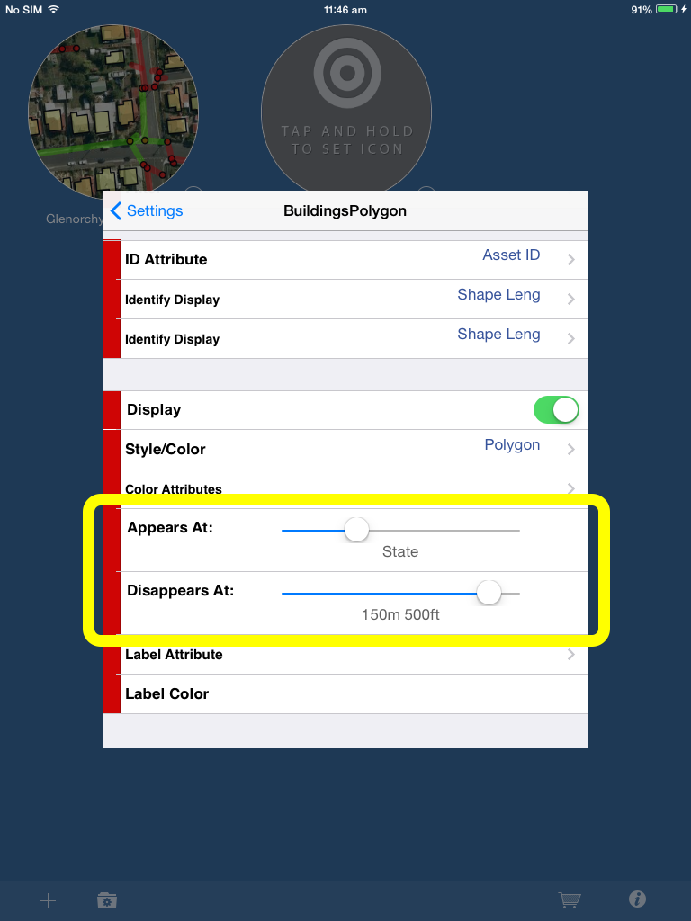
The “Appears At” slider controls the maximum zoom a layer is visible at. The “Disappears At” slider controls the minimum zoom a layer is visible at. In the screenshot above, the BuildingsPolygon layer will be shown from a state level to 150m. If the user zooms in closer than 150m or zooms out further than the state level, the layer will disappear.