Geometry - Design, Develop, Support
Our custom designed enterprise solutions will drive your business efficiency through innovation and quality.

Our custom designed enterprise solutions will drive your business efficiency through innovation and quality.

PlanBuild Tasmania

Budget and Reporting Tool
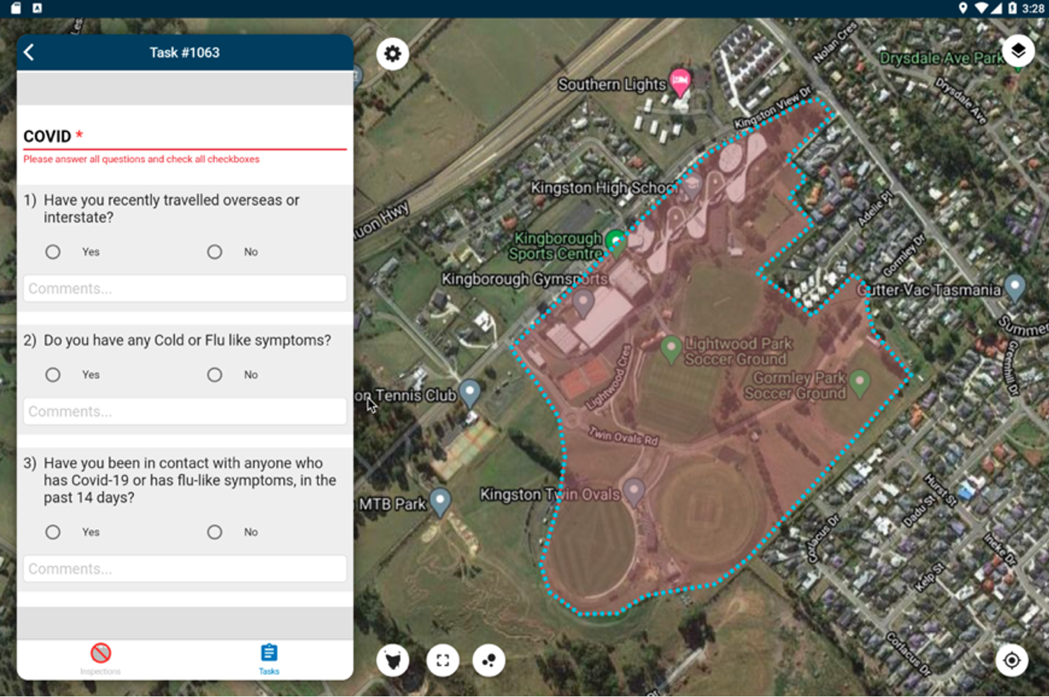
Maintenance Vegetation Management System
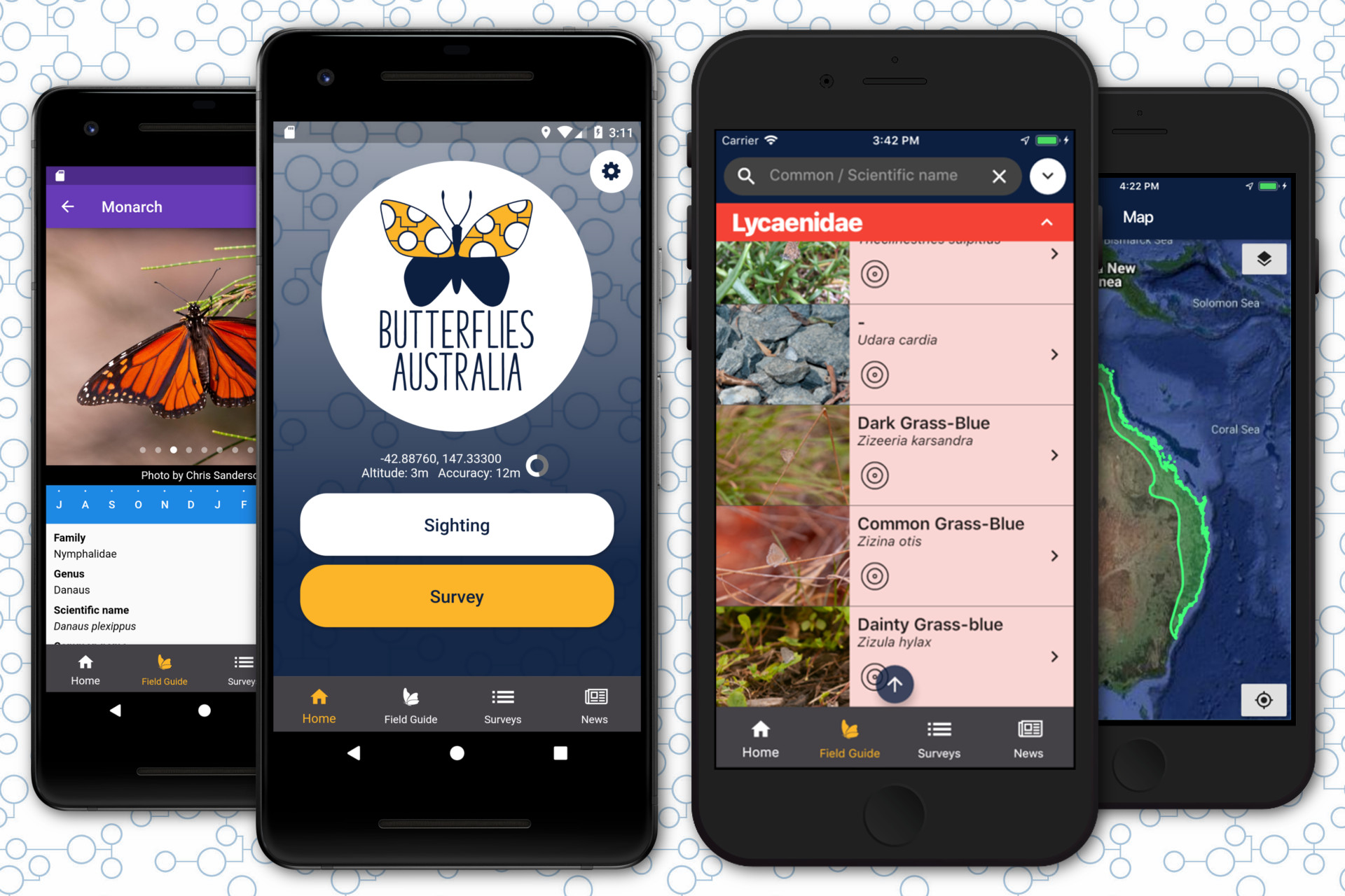
Butterflies Citizen Science App
Geometry is a software development company focused on the design, development and support of enterprise solutions that deliver business efficiency.
Geometry Pty Ltd
31 Salamanca Square
Hobart, Tas 7004
P: +61 3 6223 1999
ABN: 69 688 105 633